

Projects
an evolution in land information
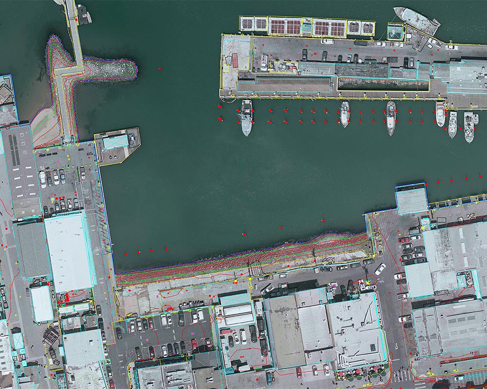
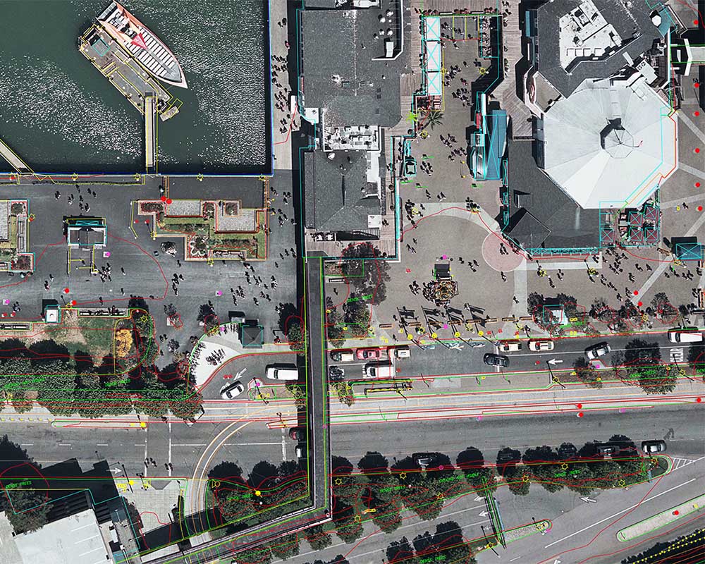
Embarcadero | completed in late 2019
Project Specs:
- 1:2400 scale aerial imagery collection
- Topographic mapping 1″ = 20′ scale and 1′ contours
- DTM (digital terrain model)
- 15′ orthophotography
- 5 mile stretch of downtown San Francisco along piers (285 acre site)
- 7 flight lines
- VMR project timeline: 2 months
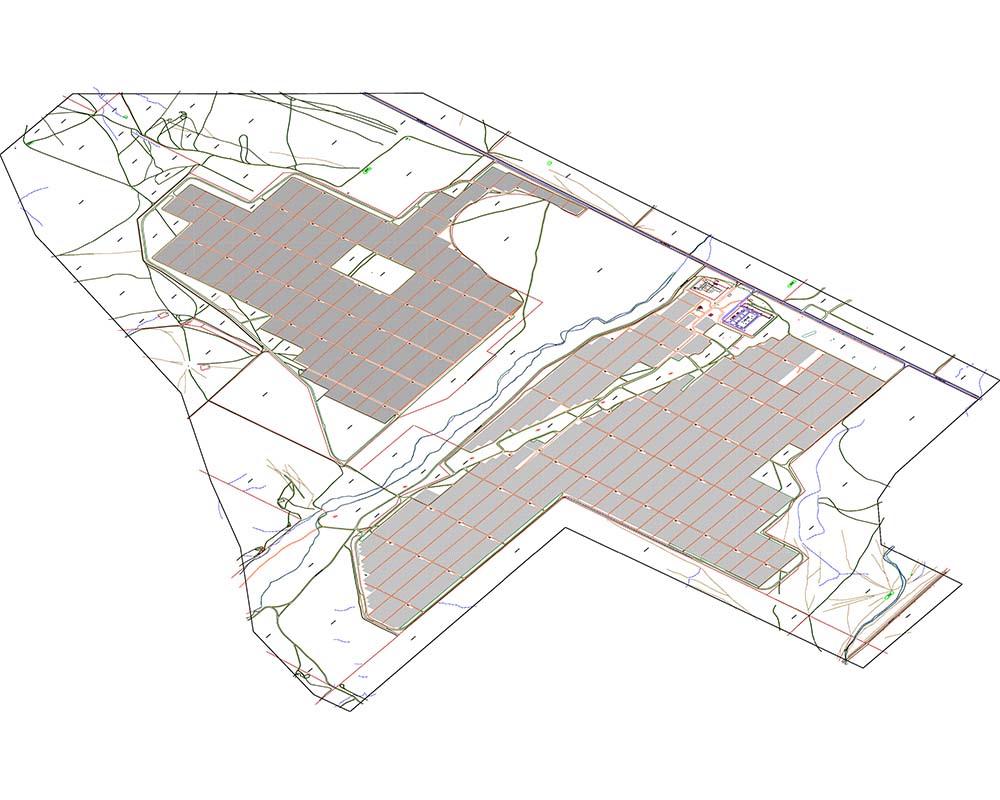
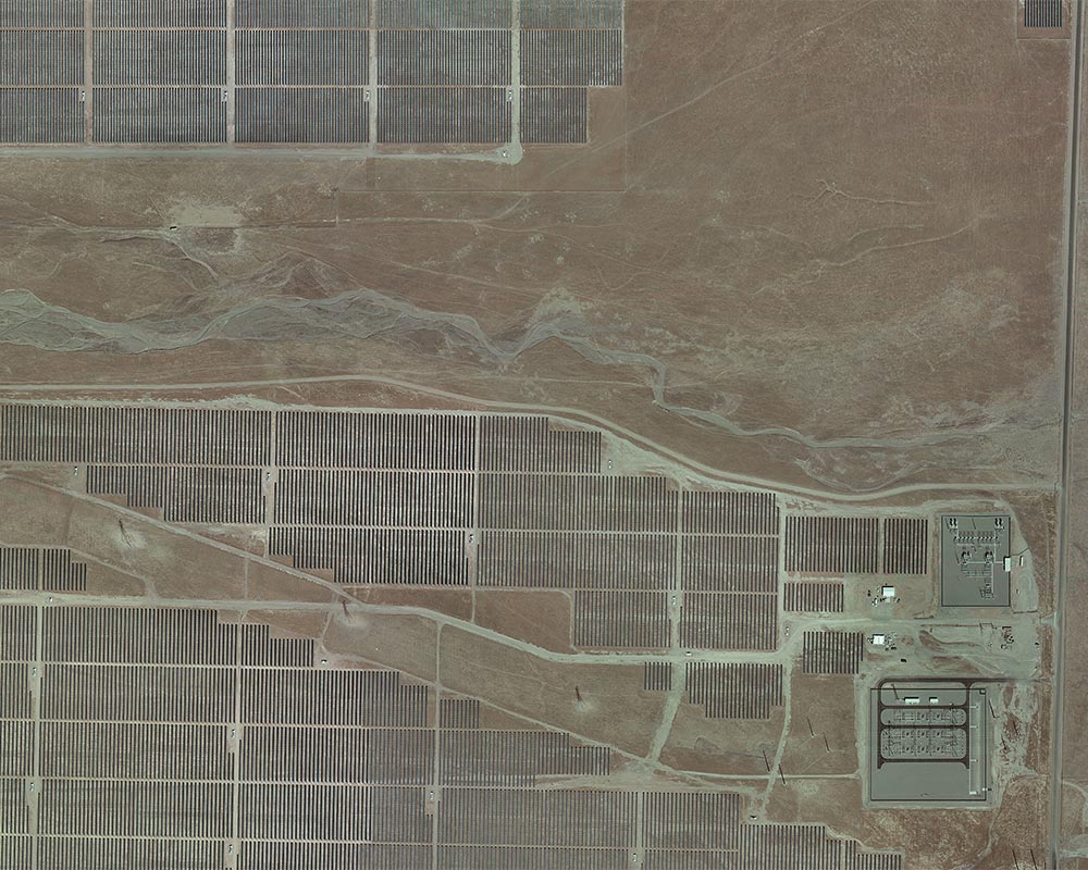
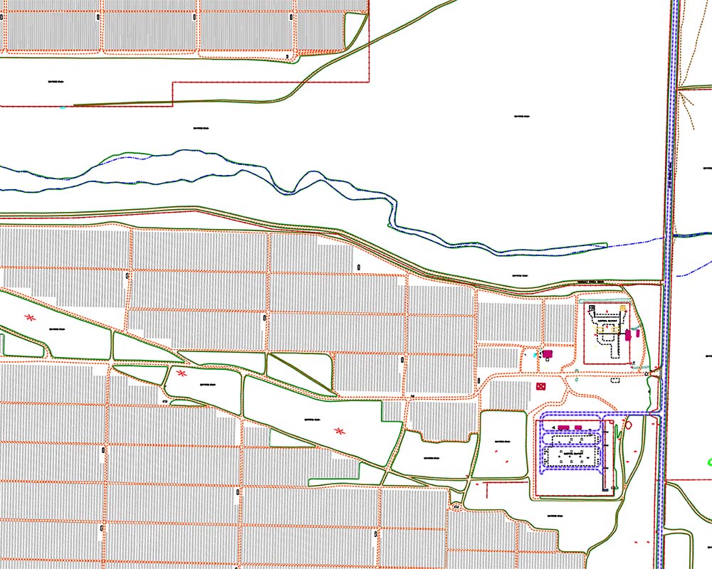
Panoche Solar | completed in late 2019
Project Specs:
- 1:7200 scale aerial imagery collection
- Planimetric mapping 1″ = 100′ scale
- 0.50′ orthophotography
- 2400 acre site
- VMR project timeline: 1 week
Worked closely with our client to ensure specific areas remained undisturbed for a protected species of lizard inhabiting the project site.
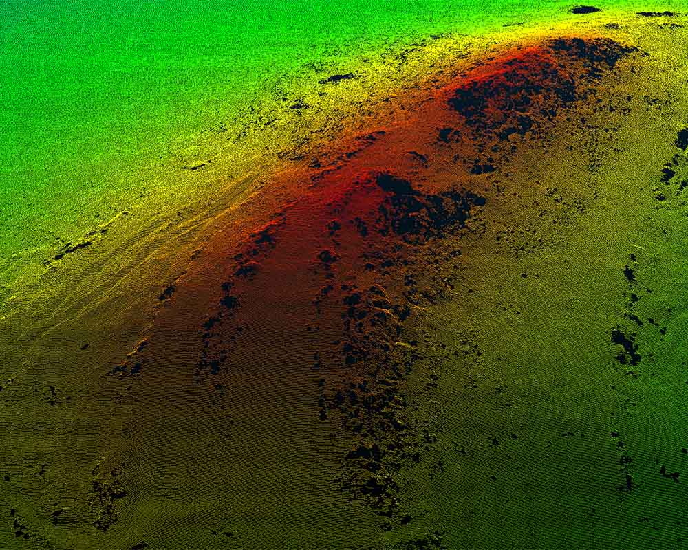
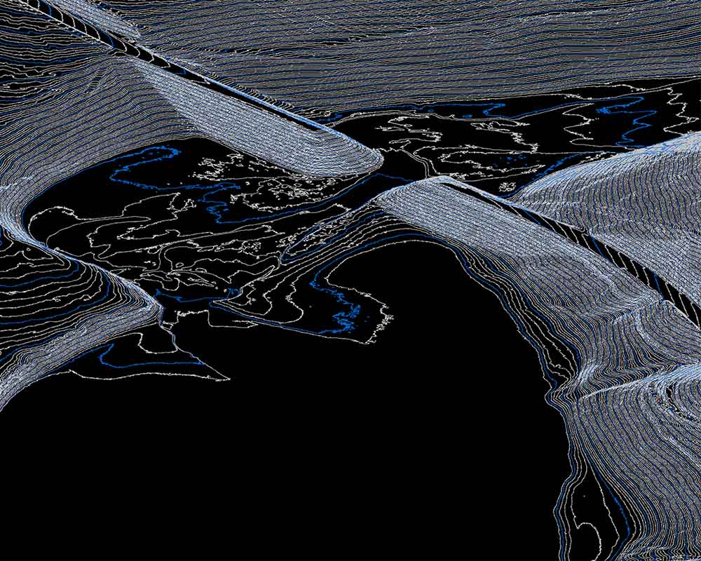
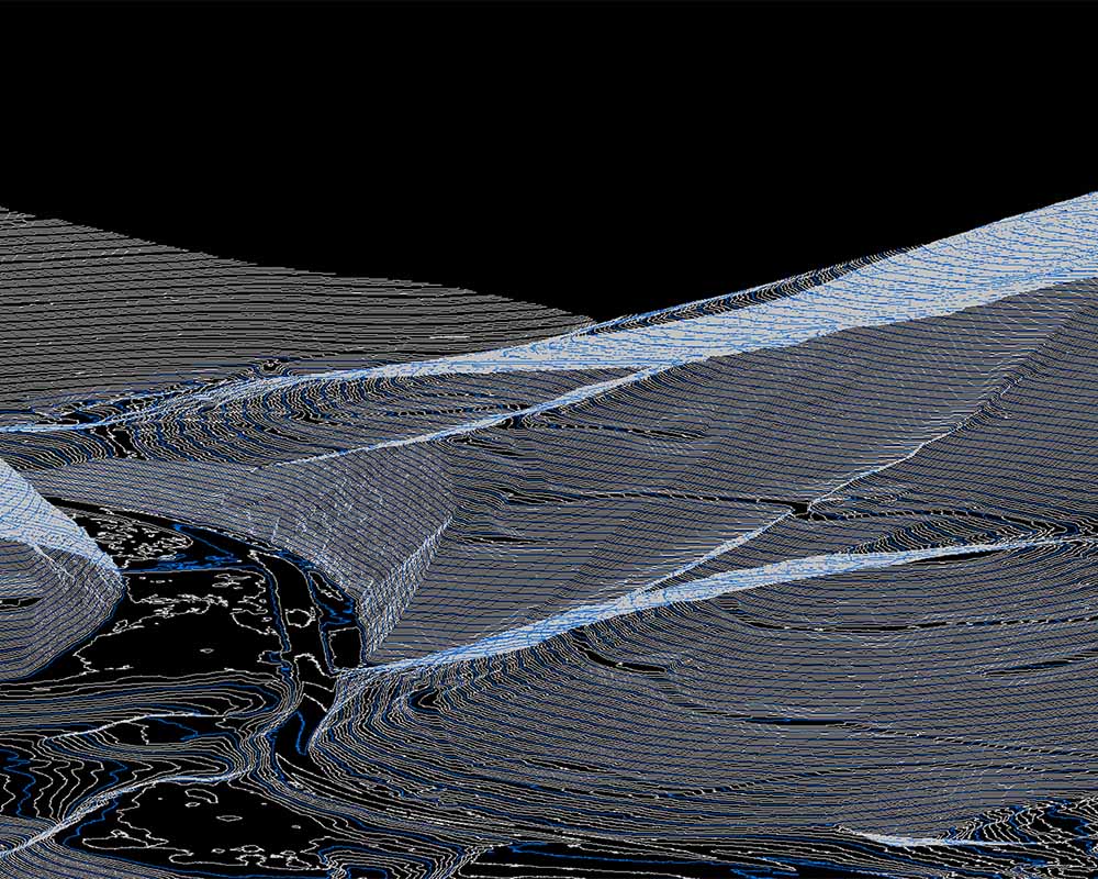
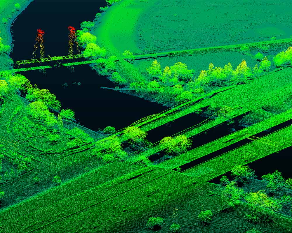
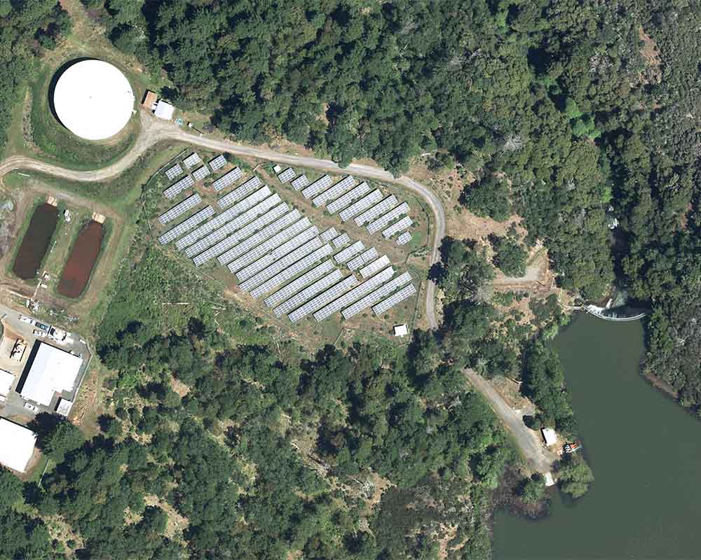
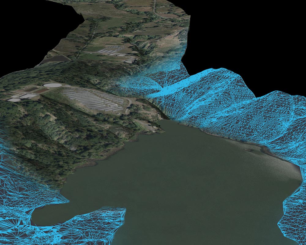
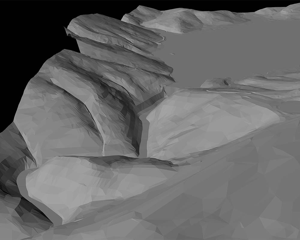
Reservoir LiDAR | completed in late 2019
Project Specs:
- LiDAR collection (6.2 ppsm) and classified for bare earth
- DEM (digital elevation model) with 1′ contours
- Aerotriangulation for client supplied imagery
- 0.25′ orthophotography
- 5760 acre site (9 square miles)
- VMR project timeline: 5 weeks
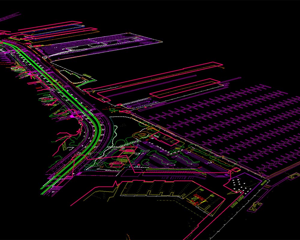
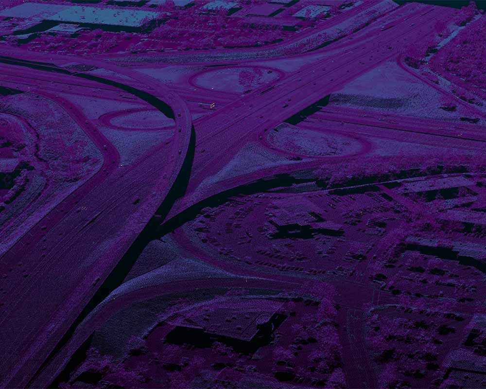
Valley Link | completed in Summer 2019
Project Specs:
- 10 cm resolution aerial imagery collection
- LiDAR collection (8 ppsm) and classified for bare earth
- DEM (digital elevation model)
- Topographic mapping 1″ = 100′ scale and 1′ contours
- 0.50′ orthophotography
- 40+ mile alignment (3400 acre site)
- VMR project timeline: 7 weeks
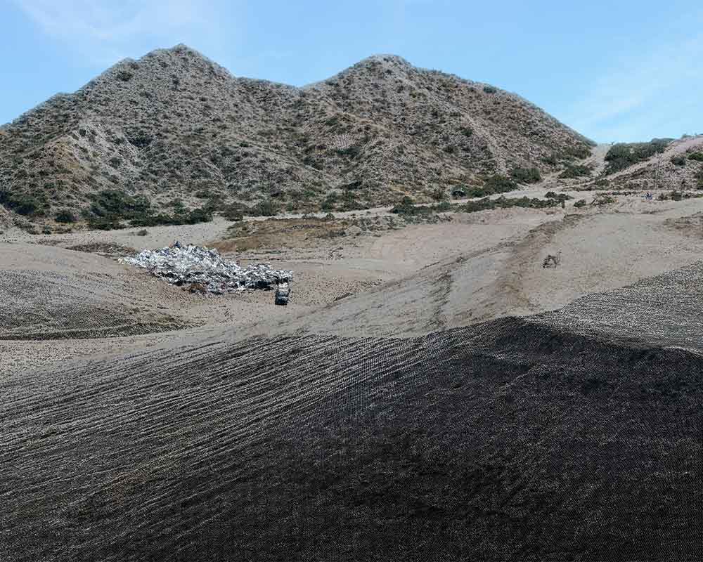
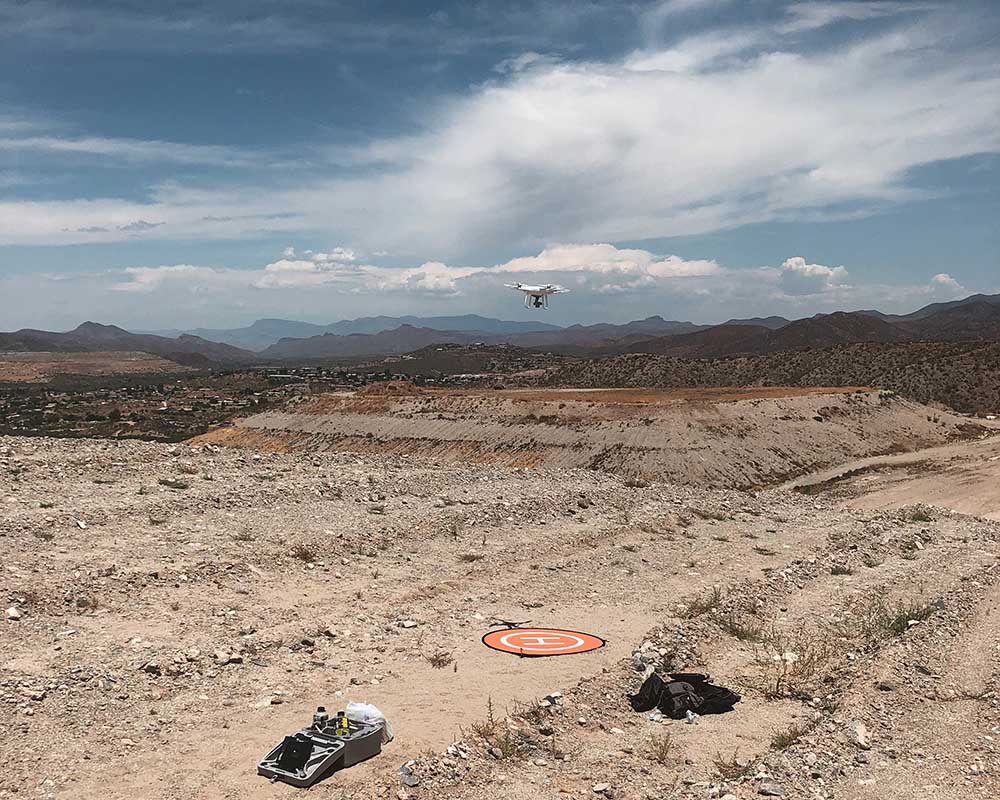
Russel Gulch | completed Summer 2019
Project Specs:
- UAS imagery collection
- Topographic mapping 1″ = 100′ scale and 1′ contours
- DTM (digital terrain model)
- 0.15′ orthophotography
- 38 acre site
- VMR project timeline: 4 weeks
Willits Dam | completed summer 2019
Project Specs:
- 10 cm resolution aerial imagery collection
- Topographic mapping 1″ = 100′ scale and 2′ contours
- DTM (digital terrain model)
- 0.35′ orthophotography
- 4530 acre site
- VMR project timeline: 2 months
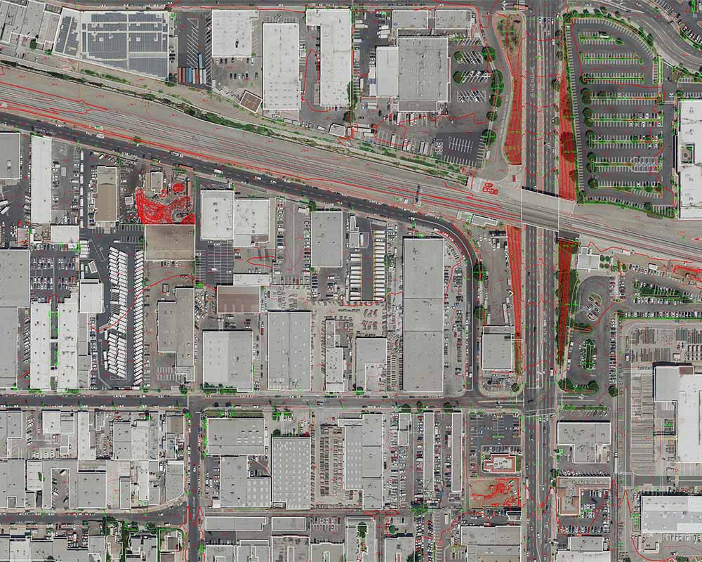
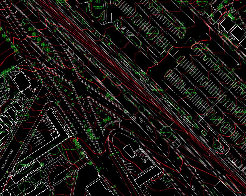
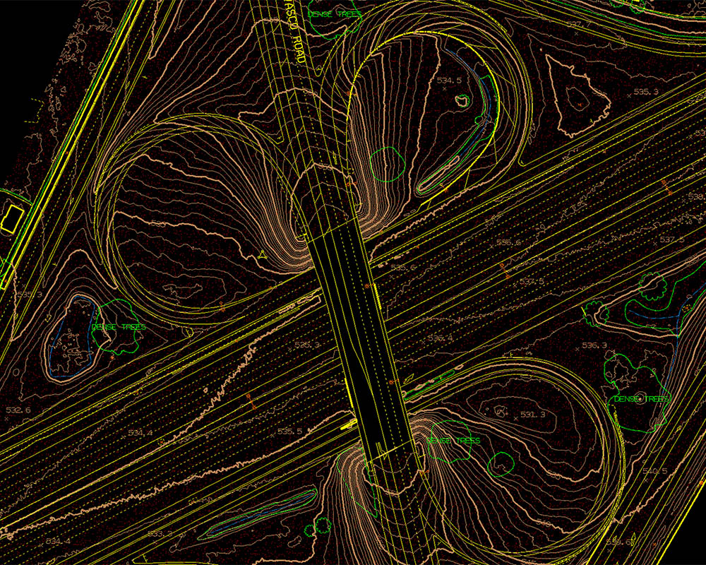
SoCal Valley Transportation Corridor | completed late 2018
Project Specs:
- 5 cm resolution aerial imagery collection
- Topographic mapping 1″ = 40′ scale and 1′ contours
- DTM (digital terrain model)
- 0.25′ orthophotography
- 9.5 mile alignment (1900 acre site)
- VMR project timeline: 2 months