About Us
an evolution in land information
Vertical Mapping Resources is a premier resource for mapping solutions, geospatial information, and related consulting services. Collectively, we honor the responsibility of maintaining the high standards for data accuracy within our industry, as we help our communities design, develop and prosper. We strive to provide value for our clients by offering the highest quality, cost-effective solutions and client service.
Our Company
Vertical Mapping Resources operates from multiple US offices. We enjoy working one-on-one with our clients to build a strong, long-term relationship. Client service, innovation, professionalism and integrity are fundamental to our company values.
Our company is committed to technical innovation coupled with an enthusiasm for what we do. We pride ourselves on our technical expertise, excellent client service, and attention to detail and accuracy standards.
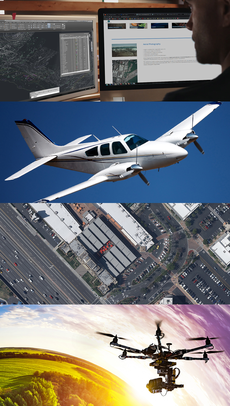
Our dedication to staying at the forefront of technology allows us to offer cost effective mapping data, with quick project schedules, in virtually any CAD format. We retain current licenses of all major CAD packages, including AutoCAD, Microstation and ArcGIS.
Our Standards & Dedication
At Vertical Mapping Resources we implement quality control procedures at every phase of the mapping process from design through completion. This ensures that our digital mapping and orthophotography products exceed the standards set by the American Society for Photogrammetry and Remote Sensing (ASPRS), as well as the Federal Geographic Data Committee’s (FGDC) National Standards for Spatial Data Accuracy (NSSDA).
In addition, Vertical Mapping Resources maintains a dedicated and capable staff that includes Certified Photogrammetrists (CP), Certified GIS Professionals (GISP), a State Licensed Land Surveyor, Project Managers, and Aerial Mapping CAD Technicians, all committed to ensuring that our mapping products meet both photogrammetric and geodetic accuracies. This is a key element within our firm and the overall mapping standards that we offer our clients.
As a company, we stand behind our maxim – “an evolution in land information”.